Tango-Amanohashidate-Ōeyama Quasi-National Park, Amanohashidate

Gallery (1)
Map
Map
Facts and practical information
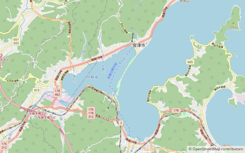
Tango-Amanohashidate-Ōeyama Quasi-National Park is a Quasi-National Park in northern Kyōto Prefecture, Japan. Established in 2007, the park comprises a number of non-contiguous areas of the former Tango Province, with a central focus on Mount Ōe and Amanohashidate, one of the Three Views of Japan. ()
Local name: 丹後天橋立大江山国定公園 Established: 3 August 2007 (18 years ago)Area: 73.45 mi²Elevation: 23 ft a.s.l.Coordinates: 35°34'2"N, 135°11'24"E
Address
Amanohashidate
ContactAdd
Social media
Add
Day trips


