Nanataki Falls, Kosaka

Gallery (1)
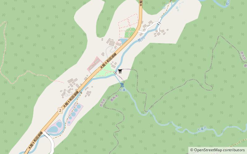
Map
Map
Facts and practical information
Nanataki Falls is a waterfall in the Hachimantai district of Kosaka, Akita Prefecture, Japan, on the Kosaka branch of the Yoneshiro River. It is one of "Japan’s Top 100 Waterfalls", in a listing published by the Japanese Ministry of the Environment in 1990. The falls have a height of 60 meters, broken into a series of seven cascades. The falls are easily accessible by car, and are located 8 kilometers from the Kosaka Interchange on the Tōhoku Expressway. ()
Day trips
Nanataki Falls – popular in the area (distance from the attraction)
Nearby attractions include: Kazuno District.