
Akitakata Travel Guide
Facts and practical information
Nestled in the Hiroshima region of Japan, Akitakata is a charming city that offers a blend of natural beauty and cultural heritage. The city is surrounded by picturesque mountains, lush forests, and pristine rivers, making it a paradise for outdoor enthusiasts. From hiking and camping to fishing and kayaking, Akitakata provides ample opportunities for visitors to immerse themselves in the tranquility of nature.
One of the must-see attractions in Akitakata is the stunning Sandankyo Gorge, known for its breathtaking landscapes and crystal-clear waters. Visitors can hike along the gorge, crossing wooden suspension bridges and enjoying panoramic views of the rugged cliffs and lush vegetation. The area is especially popular during the autumn season when the foliage transforms into a vibrant tapestry of red, orange, and yellow hues.
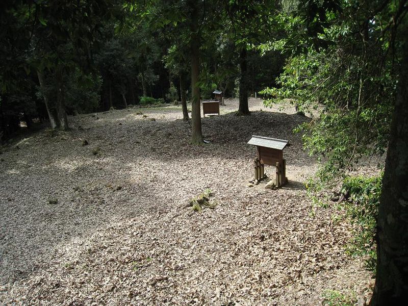
For those interested in history and culture, Akitakata offers a glimpse into Japan's traditional way of life. The city is home to several well-preserved historic sites, including traditional thatched-roof houses, ancient shrines, and tranquil temples. Visitors can wander through the charming streets, admiring the architecture and soaking in the serene atmosphere.
In addition to its natural beauty and cultural heritage, Akitakata is also known for its delicious cuisine. The city boasts a variety of local dishes, including savory Hiroshima-style okonomiyaki, a type of savory pancake made with a variety of ingredients such as cabbage, noodles, and meat or seafood. Visitors can also indulge in fresh seafood from the nearby Seto Inland Sea, as well as locally grown fruits and vegetables.
Akitakata Attractions - What to See and Explore
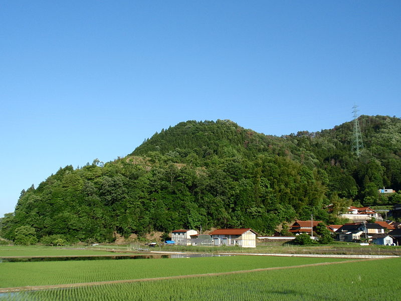
Akitakata offers many attractions and places to visit. Here are the most important ones: Yoshida-Kōriyama Castle. Below you will find a complete list of places worth visiting.

Best Time To Visit Akitakata
Learn when is the best time to travel to Akitakata weather-wise and what to expect in each season.