Izu Islands

Gallery (1)
Map
Map
Facts and practical information
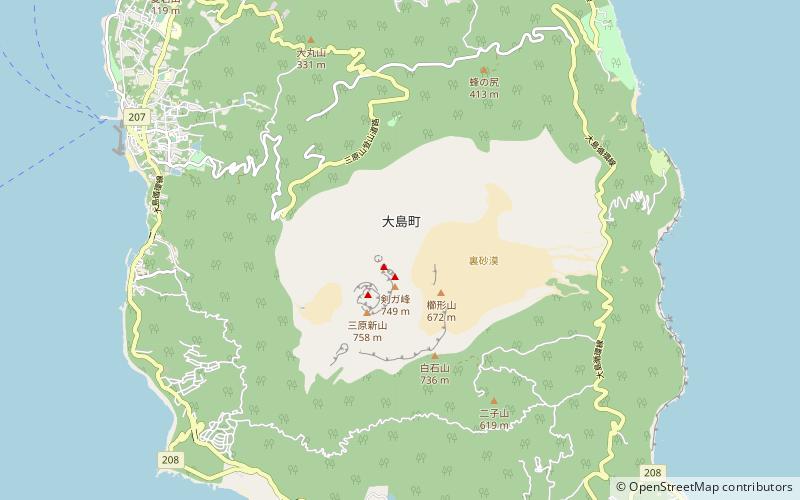
The Izu Islands, formerly the De Vries Archipelago, are a group of volcanic islands stretching south and east from the Izu Peninsula of Honshū, Japan. Administratively, they form two towns and six villages; all part of Tokyo Prefecture. The largest is Izu Ōshima, usually called simply Ōshima. ()
Location
Shizuoka
ContactAdd
Social media
Add
Day trips


