Furubira, Niseko-Shakotan-Otaru Kaigan Quasi-National Park

Gallery (1)
Map

Map
Facts and practical information
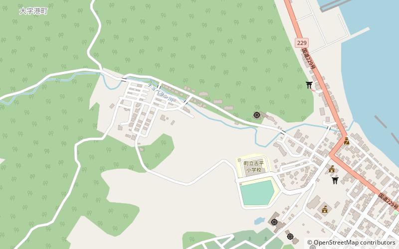
Furubira is a town located in Shiribeshi Subprefecture, Hokkaido, Japan. As of September 2016, the town had an estimated population of 3,265, and a density of 17 persons per km2. The total area is 188.41 square kilometres. ()
Day trips
Furubira – popular in the area (distance from the attraction)
Nearby attractions include: Furubira District.