Shimoshima Island Travel Guide
Facts and practical information
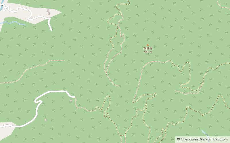
Shimoshima Island is a hidden gem in the Kumamoto region of Japan, offering visitors a tranquil and picturesque escape from the hustle and bustle of city life. The island is known for its stunning natural beauty, with lush forests, crystal-clear waters, and pristine beaches that are perfect for sunbathing and swimming. Outdoor enthusiasts will love exploring the island's rugged terrain, which is ideal for hiking, cycling, and birdwatching.
One of the highlights of Shimoshima Island is its rich cultural heritage. Visitors can immerse themselves in the island's traditional way of life by visiting local villages and participating in traditional crafts and activities. The island is also home to several historic shrines and temples, where visitors can learn about the island's spiritual traditions and take part in traditional ceremonies and rituals.
Food lovers will delight in the island's delicious cuisine, which is centered around fresh seafood and locally grown produce. The island's restaurants and eateries serve up a variety of mouthwatering dishes, including sushi, sashimi, tempura, and other traditional Japanese fare. Visitors can also sample local specialties such as shochu, a distilled spirit that is a beloved part of the island's drinking culture.
For those interested in history and culture, Shimoshima Island offers a number of fascinating attractions. The island is home to several museums and historical sites that showcase the island's rich heritage, including its connections to ancient trade routes and its role in shaping Japan's cultural identity. Visitors can also learn about the island's unique flora and fauna at the island's botanical gardens and nature reserves.
Kumamoto
Shimoshima Island Attractions - What to See and Explore
Shimoshima Island offers many attractions and places to visit. Here are the most important ones: Amakusa District. Below you will find a complete list of places worth visiting.
Best Time To Visit Shimoshima Island
Learn when is the best time to travel to Shimoshima Island weather-wise and what to expect in each season.