Kanie, Nagoya

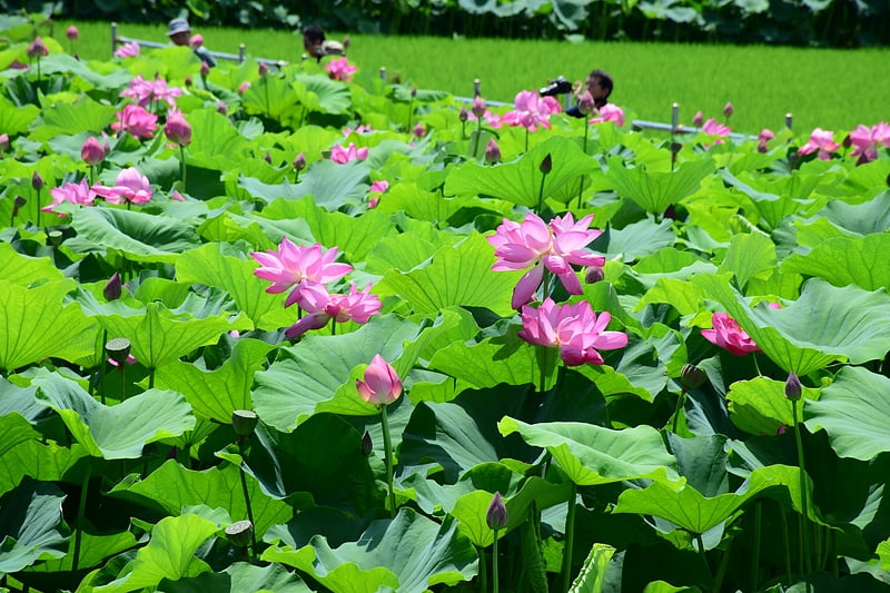
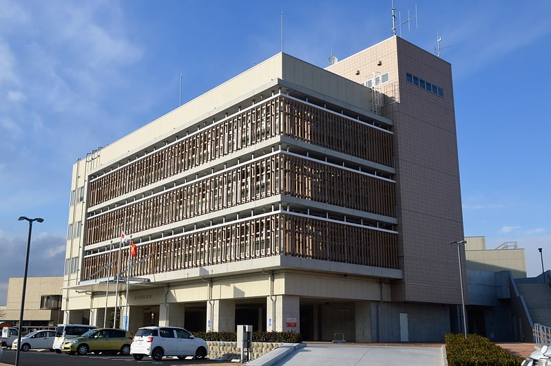
Gallery (2)
Map
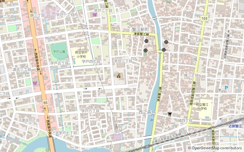

Map
Gallery
Facts and practical information
Kanie is a town located in Ama District, Aichi Prefecture, Japan. As of 1 October 2019, the town had an estimated population of 37,082 in 16,647 households, and a population density of 3,344 persons per km². The total area of the town was 11.09 square kilometres. ()
Getting there by public transportation
Public transportation stops near this location
- Bus
- Train
 Bus
Bus
- Calculate routeKintetsu-Kanie 13 min walk
- Calculate routeKanie 20 min walk
- Calculate routeTomiyoshi 30 min walk
- Calculate routeToda 30 min walk
- Calculate route戸田荘 36 min walk
Day trips


Frequently Asked Questions (FAQ)
How to get to Kanie by public transport?
The nearest stations to Kanie:
Train
Bus
Train
- Kintetsu-Kanie (13 min walk)
- Kanie (20 min walk)
Bus
- 戸田荘 (36 min walk)