Kōtō, Tokyo
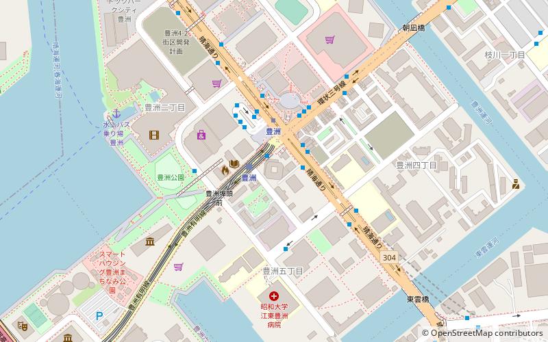
Map
Gallery
Facts and practical information
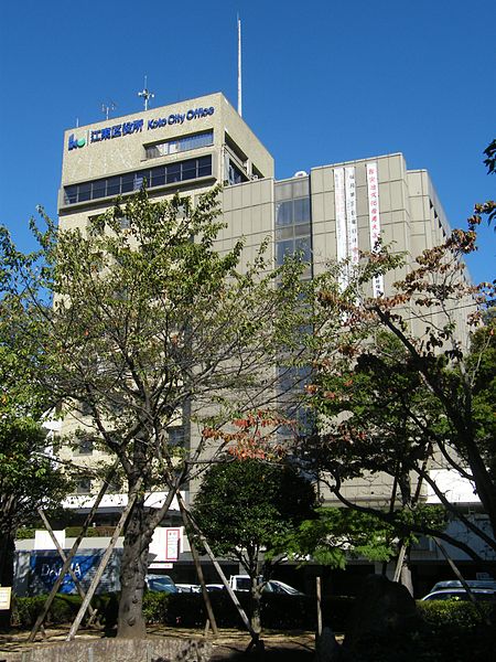
Kōtō is a special ward located in Tokyo Metropolis, Japan. The ward refers to itself as Koto City in English. As of May 1, 2015, the ward has an estimated population of 488,632, and a population density of 12,170 persons per km². The total area is approximately 40.16 km². ()
Day trips
Kōtō – popular in the area (distance from the attraction)
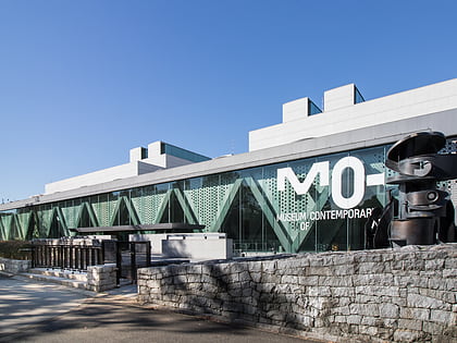
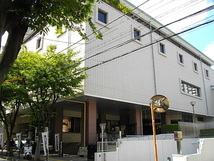
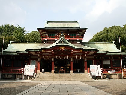
Nearby attractions include: Kiyosumi Garden, Museum of Contemporary Art Tokyo, Fukagawa Edo Museum, Tomioka Hachiman Shrine.
Frequently Asked Questions (FAQ)
Which popular attractions are close to Kōtō?
Nearby attractions include Shiomi, Tokyo (16 min walk), Kiba Park, Tokyo (22 min walk).
How to get to Kōtō by public transport?
The nearest stations to Kōtō:
Bus
Metro
Train
Bus
- Toyocho Station • Lines: 木11折返, 木11甲, 東22, 陽12-1, 陽12-2, 陽12-3 (6 min walk)
- 東陽橋南 • Lines: 陽12-1, 陽12-2, 陽12-3 (6 min walk)
Metro
- Toyocho • Lines: T (6 min walk)
- 木場 • Lines: T (16 min walk)
Train
- Shiomi (14 min walk)


 Metro
Metro
