Nagakute, Nagoya
Map
Gallery
Facts and practical information
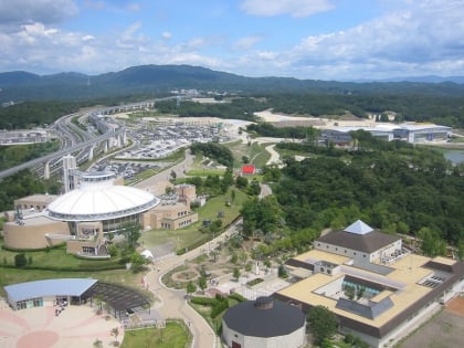
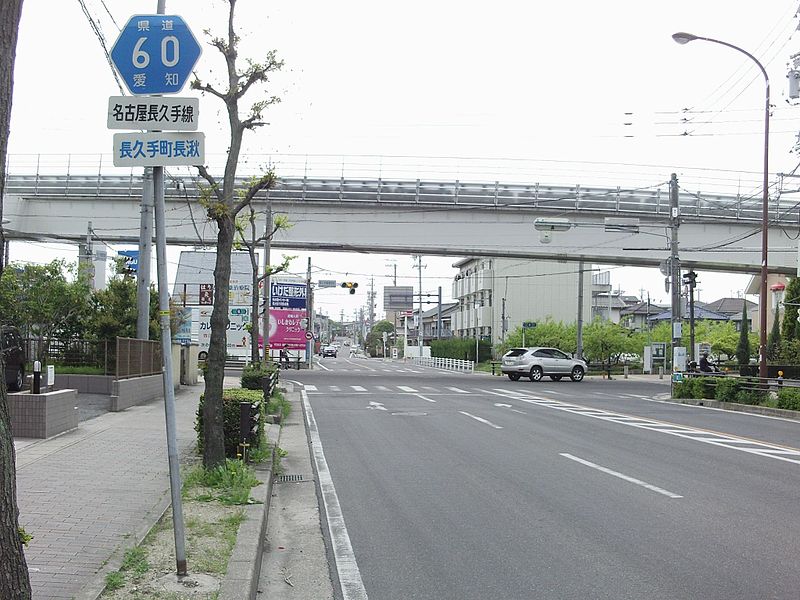
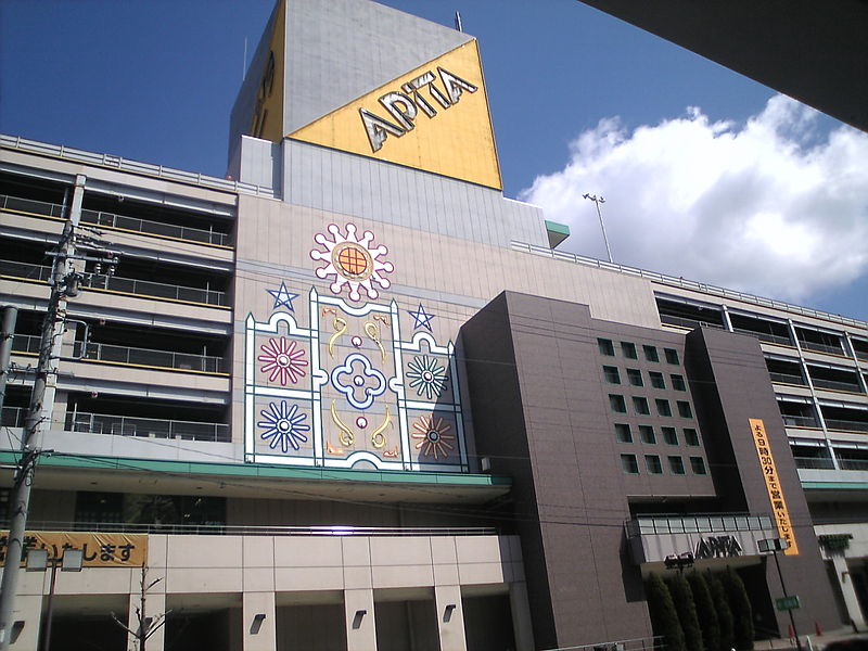
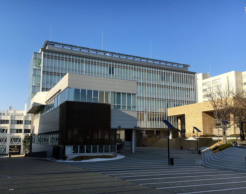
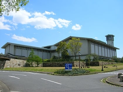
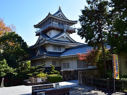
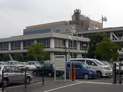
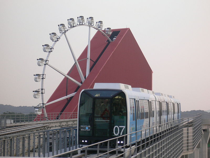
Nagakute is a city located in Aichi Prefecture, Japan. As of 1 October 2019, the city had an estimated population of 61,503 in 24,352 households, and a population density of 2,854 persons per km2. The total area of the city is 21.55 square kilometres. Nagakute is a member of the World Health Organization’s Alliance for Healthy Cities. ()
Address
Nagoya
ContactAdd
Social media
Add
Day trips
Nagakute – popular in the area (distance from the attraction)
Nearby attractions include: Toyota Automobile Museum, Higashiyama Zoo and Botanical Gardens, Aichiken Forest Park, Heiwa Park.
Frequently Asked Questions (FAQ)
How to get to Nagakute by public transport?
The nearest stations to Nagakute:
Light rail
Bus
Light rail
- Nagakute Kosenjō • Lines: L (10 min walk)
- Irigaike-kōen • Lines: L (14 min walk)
Bus
- 長久手車庫 (16 min walk)
