Mt. Sengen, Fuchu
Map
Gallery
Facts and practical information
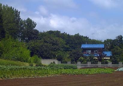
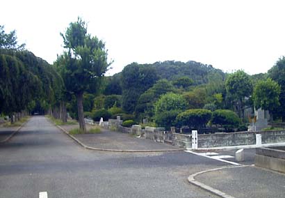
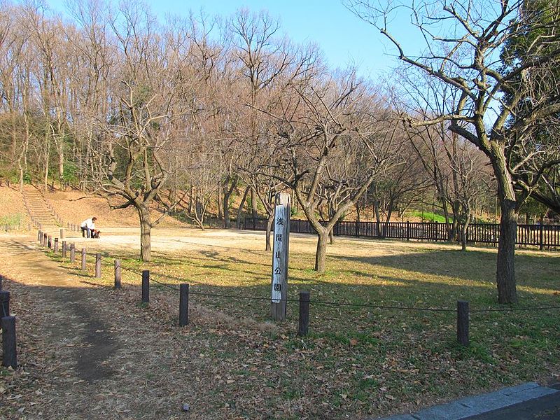
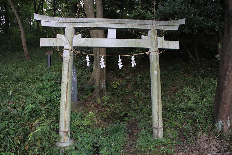
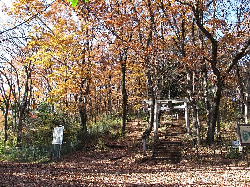
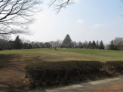
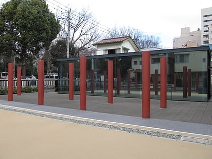
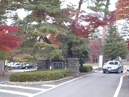
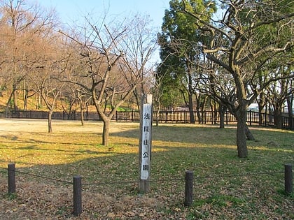
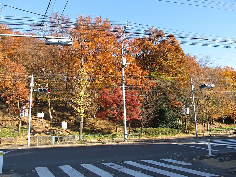
Mt. Sengen is a 79.6-meter-high mountain located in Fuchu City, Tokyo. It was used as a gun powder depot for the army, but was disposed of after the war and opened as Sengenyama Park on June 1, 1970, and the entire mountain is now the Metropolitan Sengenyama Park.
It is located along the Hitomi Highway and is mentioned in history books and paintings. The land around this area was once Hitomi Village, also known as "Hitomi Mountain.
Coordinates: 35°40'53"N, 139°30'7"E
Address
府中 (fu zhong)Fuchu
ContactAdd
Social media
Add
Day trips
Mt. Sengen – popular in the area (distance from the attraction)
Nearby attractions include: Tonogayato Garden, Fuchū-no-Mori Park, Musashi Kokufu, Tama Cemetery.
Frequently Asked Questions (FAQ)
Which popular attractions are close to Mt. Sengen?
Nearby attractions include Sengenyama Park, Fuchu (3 min walk), Tama Cemetery, Fuchu (14 min walk), Fu zhong shi mei shu guan, Fuchu (15 min walk), Fuchū-no-Mori Park, Fuchu (17 min walk).
How to get to Mt. Sengen by public transport?
The nearest stations to Mt. Sengen:
Bus
Train
Bus
- 多磨霊園裏門 • Lines: 境96, 武91 (18 min walk)
- 貫井南町一丁目 • Lines: 武95 (20 min walk)
Train
- Tama (24 min walk)
- Higashi-fuchu (24 min walk)
