Kuki Dam
Map

Map

Facts and practical information
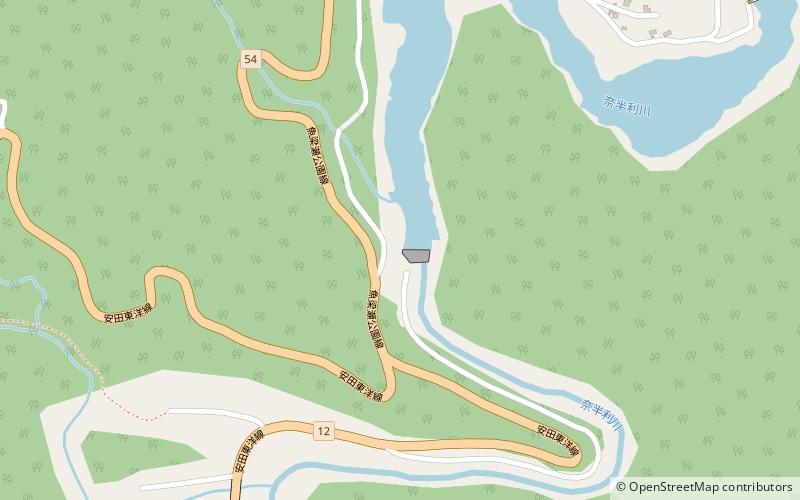
Kuki Dam is a dam in Kitagawa, Kōchi Prefecture, Japan, completed in 1963. It is located on the Nahari River immediately downstream from the Yanase Dam and further upstream from the Hiranabe Dam. ()
Opened: 1963 (63 years ago)Length: 310 ftHeight: 92 ftCoordinates: 33°34'48"N, 134°6'29"E
Day trips
Kuki Dam – popular in the area (distance from the attraction)
Nearby attractions include: Hiranabe Dam, Yanase Dam, Umaji.


