Mount Hōsshō, Yaba-Hita-Hikosan Quasi-National Park
Map
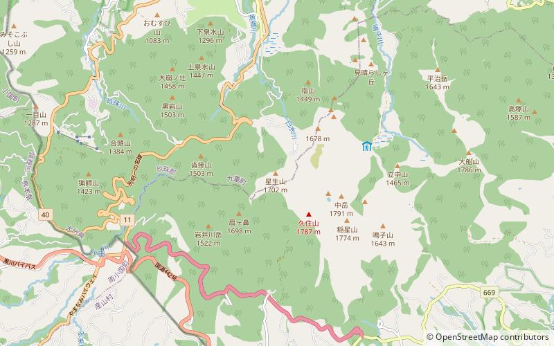
Map

Facts and practical information
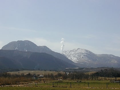
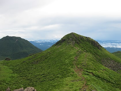
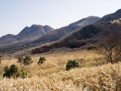
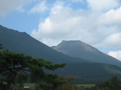
Mt. Hoshio is a volcano that forms the Kokonoe Mountain Range in Kokonoe-cho, Kusu-gun, Oita Prefecture. At 1,762 meters above sea level, it is the highest peak in Kokonoe Town.
Address
Yaba-Hita-Hikosan Quasi-National Park
ContactAdd
Social media
Add
Day trips
Mount Hōsshō – popular in the area (distance from the attraction)
Nearby attractions include: Mount Kujū, Nakadake, Mount Mimata, Mount Inahoshi.
