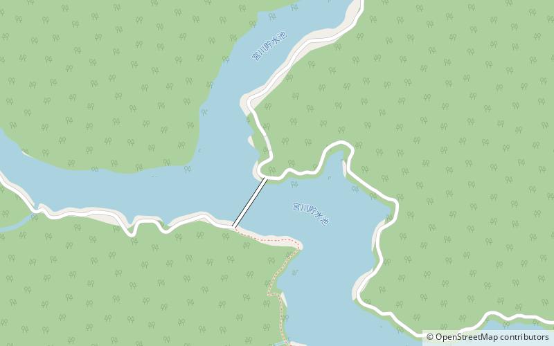
Okuise Miyagawakyō Prefectural Natural Park

Gallery (1)
Map
Map
Facts and practical information
Okuise Miyagawakyō Prefectural Natural Park is a Prefectural Natural Park in central Mie Prefecture, Japan. Established in 1967, the park spans the municipalities of Taiki and Ōdai. ()
Local name: 奥伊勢宮川峡県立自然公園 Established: 1 August 1967 (58 years ago)Elevation: 909 ft a.s.l.Coordinates: 34°17'29"N, 136°10'59"E
Location
Mie
ContactAdd
Social media
Add
Day trips
Okuise Miyagawakyō Prefectural Natural Park – popular in the area (distance from the attraction)
Nearby attractions include: Mount Hinokizuka Okumine.
