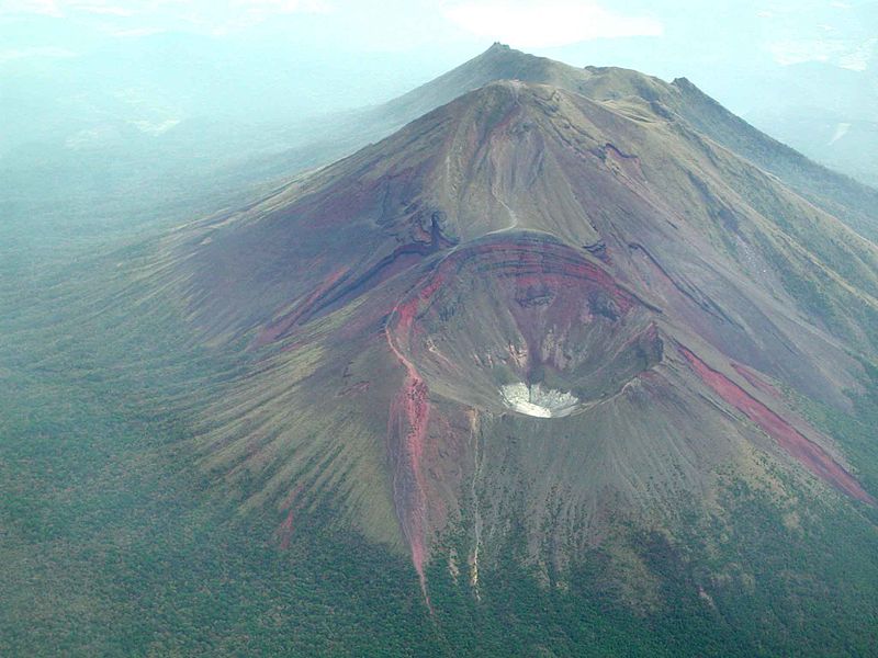
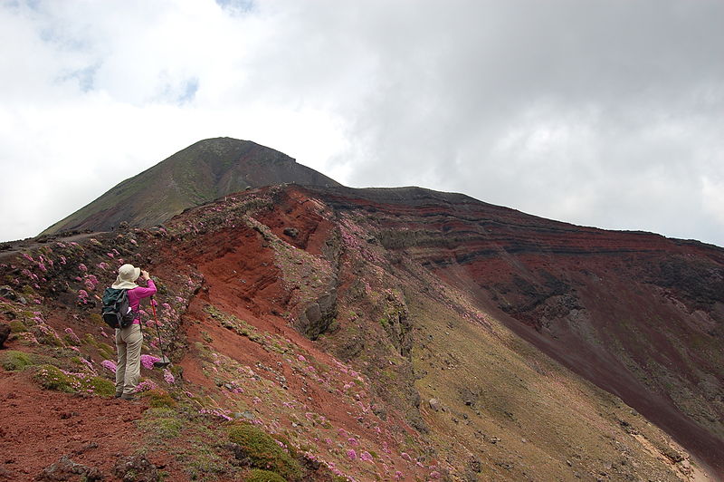
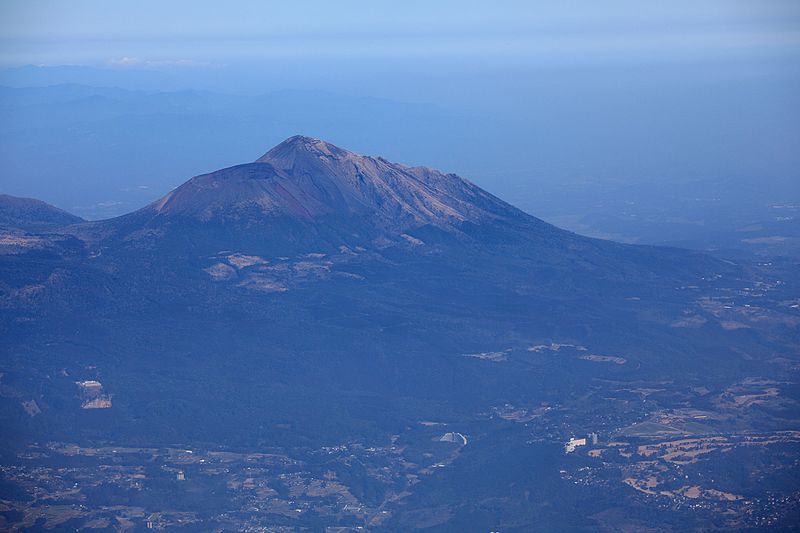
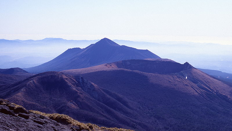
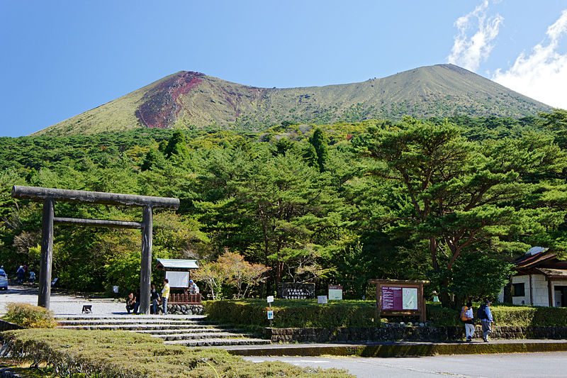
Takachihono Mine

Gallery (7)
Map

Map

Gallery
Facts and practical information
Takachihono Mine is a place located in Japan and belongs to the category of nature, natural attraction, mountain.
It is situated at an altitude of 4806 feet, and its geographical coordinates are 31°53'7"N latitude and 130°55'1"E longitude.
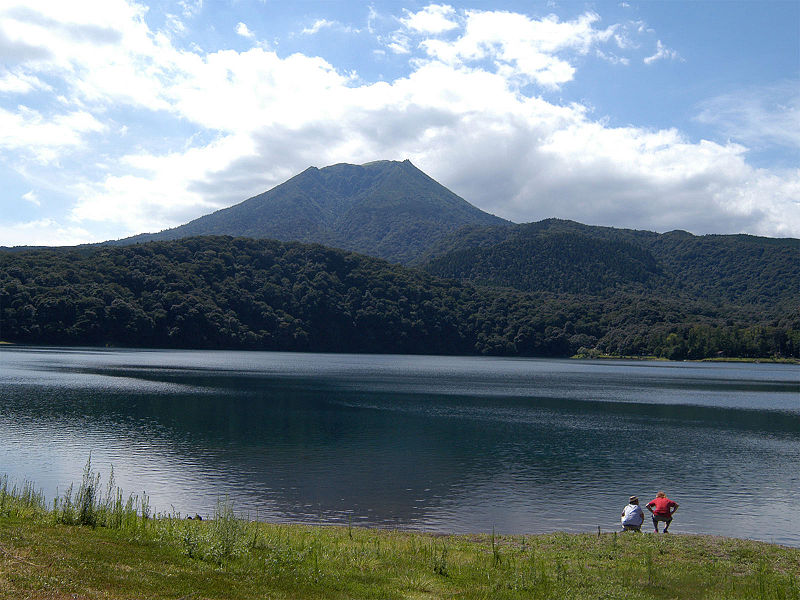
Among other places and attractions worth visiting in the area are: Shinmoe DakeKirishima (nature, 63 min walk), Shinmoedake (nature, 69 min walk), Lake MiikeTakaharu (natural attraction, 78 min walk).
Coordinates: 31°53'7"N, 130°55'1"E
Location
Miyazaki
ContactAdd
Social media
Add
Day trips


