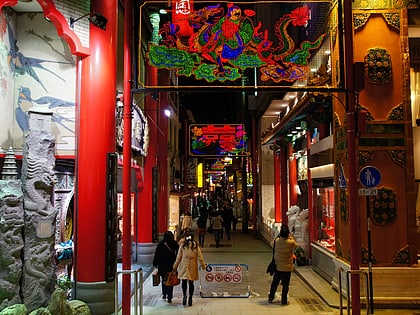
Nagasaki Ropeway, Nagasaki
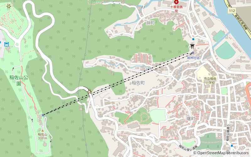
Map
Map

Facts and practical information
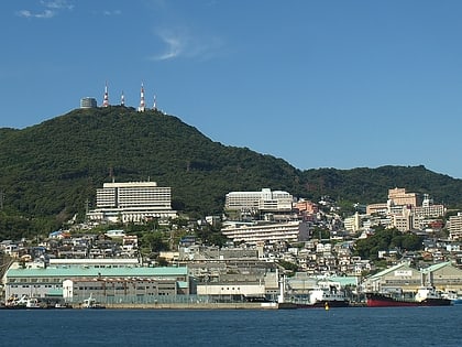
The Nagasaki Ropeway is the name of Japanese aerial lift line, operated by Nagasaki Ropeway and Aquarium. Opened in 1958, the line climbs Mount Inasa, to the west of the city of Nagasaki, Nagasaki. ()
Day trips
Nagasaki Ropeway – popular in the area (distance from the attraction)
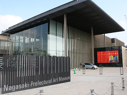
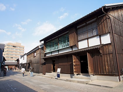
Nearby attractions include: Prefectural Art Museum, Nagasaki Atomic Bomb Museum, Dejima, Mount Inasa.
Frequently Asked Questions (FAQ)
How to get to Nagasaki Ropeway by public transport?
The nearest stations to Nagasaki Ropeway:
Tram
Train
Bus
Ferry
Tram
- Zenza-machi • Lines: 長崎電気軌道1号系統, 長崎電気軌道2号系統, 長崎電気軌道3号系統 (19 min walk)
- Mori-machi (20 min walk)
Train
- Urakami (21 min walk)
- Nagasaki (22 min walk)
Bus
- Nagasaki Eki-mae (26 min walk)
- Bus station#50 (35 min walk)
Ferry
- 長崎 • Lines: 長崎~奈良尾~福江 (29 min walk)
- 元船 (28 min walk)

