Trek Zone

Rumikkusubouru yuan ting, Minamisōma

#2 among attractions in Minamisōma

Sightseeing
Rumikkusubouru yuan ting

Facts and practical information

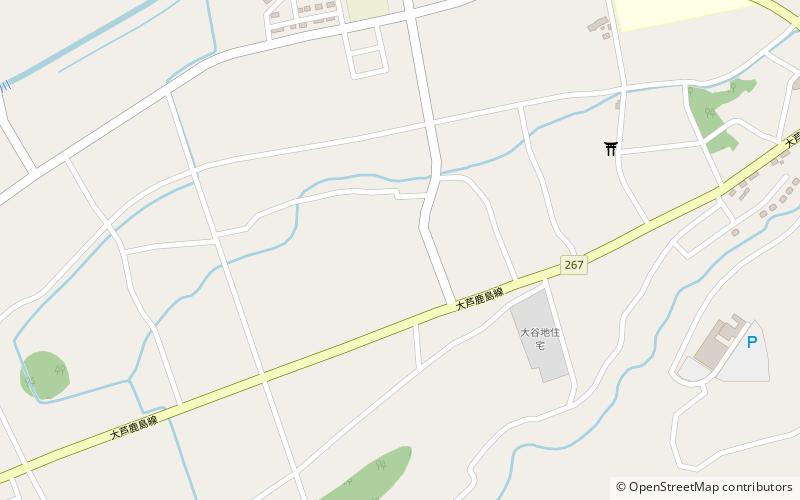
Rumikkusubouru yuan ting is a place located in Minamisōma (Fukushima prefecture) and belongs to the category of sightseeing.

It is situated at an altitude of 121 feet, and its geographical coordinates are 37°37'45"N latitude and 140°57'36"E longitude.

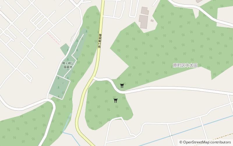
Among other places and attractions worth visiting in the area are: Haramachi (city, 23 min walk), Hayama Cave Tomb (archaeological site, 27 min walk), Sakurai Kofun (archaeological site, 50 min walk).

Coordinates: 37°37'45"N, 140°57'36"E
Address

Minamisōma Japan

ContactAdd
Social media
Add

Minamisōma plan & book

Unleash the traveler in you — discover the cheapest flight deals, find the perfect hotel or hostel nearby, and search for the best car rental prices. Travel at your own pace to discover new places and enjoy your journey.

Day trips

Rumikkusubouru yuan ting – popular in the area (distance from the attraction)

Nearby attractions include: Sakurai Kofun, Haramachi, Mano Kofun Cluster, Hayama Cave Tomb.

  • sakurai kofun1.9 miNE
  • haramachi minamisoma0.9 miN
  • mano kofun cluster location map
    4.7 miN
  • hayama cave tomb location map
    1 miS
  • yokodaido steel production site location map
    5.2 miS

Where to next? Visit fukushima Fukushima region page or discover the top tourist attractions in Japan.

JapanAichiAkitaAomoriChibaEhimeFukuiFukuokaFukushimaGifuGunmaHiroshimaHokkaidoHyōgoIbarakiIshikawaIwateKagawaKagoshimaKanagawaKochiKumamotoKyotoMieMiyagiMiyazakiNaganoNagasakiNaraNiigataOitaOkayamaOkinawaOsakaSagaSaitamaShigaShimaneShizuokaTochigiTokushimaTokyoTottoriToyamaWakayamaYamagataYamaguchiYamanashi