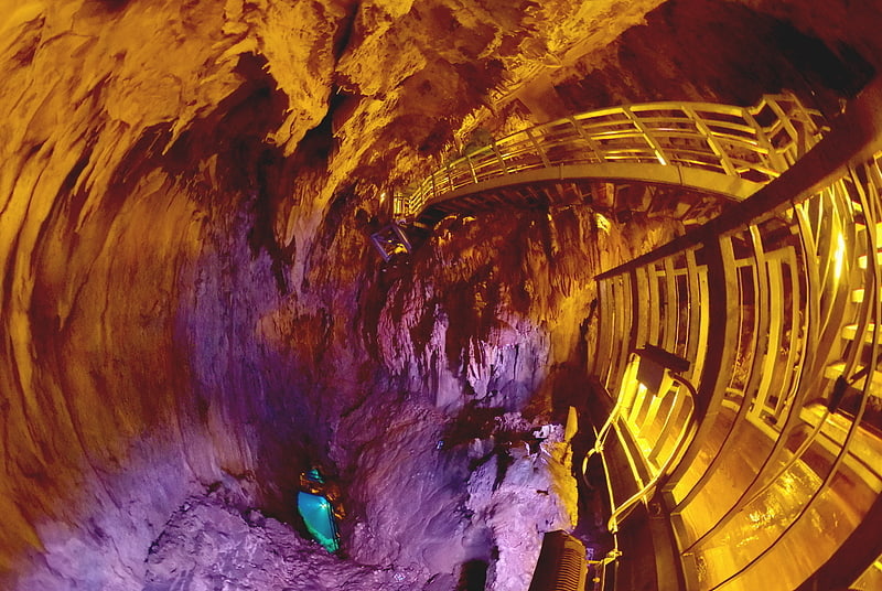
Tanohata

Gallery (3)
Map
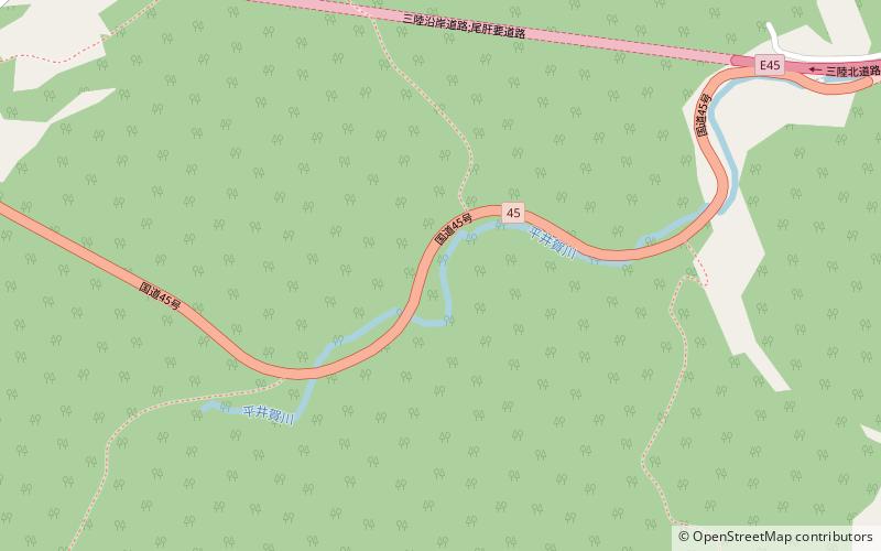

Map
Gallery
Facts and practical information
Tanohata is a village located in Iwate Prefecture, Japan. As of 1 May 2020, the village had an estimated population of 3,244, and a population density of 21 persons per km² in 1,398 households. The total area of the village is 156.19 square kilometres. ()
Day trips