

Tashirojima Travel Guide
Facts and practical information
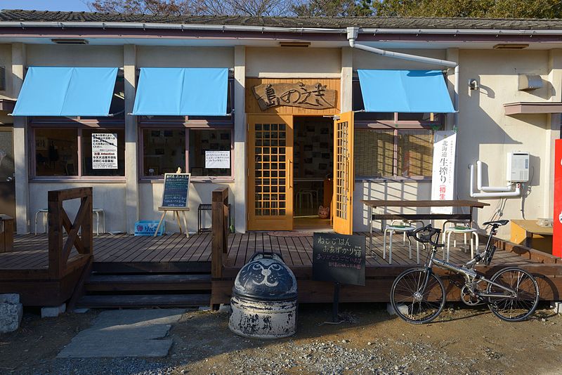
Tashirojima, located in the Miyagi region of Japan, is a unique and picturesque island that has become a popular tourist destination in recent years. Known for its feline inhabitants, Tashirojima is often referred to as "Cat Island" due to its large population of friendly and well-cared-for cats.
Visitors to Tashirojima can enjoy the tranquil and serene atmosphere of the island, which is surrounded by beautiful beaches and lush greenery. The island is also home to a number of charming fishing villages, where visitors can experience the traditional way of life in rural Japan. The local cuisine, including freshly caught seafood and regional delicacies, is a highlight for many travelers.
One of the most unique attractions on Tashirojima is the Cat Shrine, where the island's feline residents are worshipped and cared for by the local community. Visitors can explore the shrine and interact with the cats, making for a truly memorable and heartwarming experience.
In addition to its natural beauty and friendly feline population, Tashirojima also offers a range of outdoor activities for adventurous travelers. Hiking, cycling, and bird-watching are popular pastimes on the island, allowing visitors to fully immerse themselves in the stunning scenery and abundant wildlife.
Tashirojima Attractions - What to See and Explore
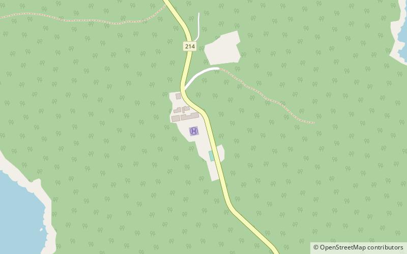
Tashirojima offers many attractions and places to visit. Here are the most important ones: Aji Island. Below you will find a complete list of places worth visiting.
Best Time To Visit Tashirojima
Learn when is the best time to travel to Tashirojima weather-wise and what to expect in each season.