Kamakuland, Yokote

Gallery (1)
Map
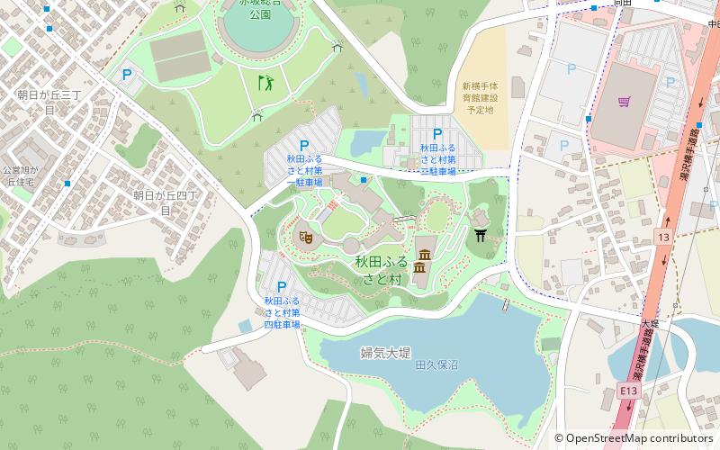
Map
Facts and practical information
Kamakuland is a place located in Yokote (Akita prefecture) and belongs to the category of amusement, amusement park.
It is situated at an altitude of 266 feet, and its geographical coordinates are 39°17'34"N latitude and 140°32'46"E longitude.
Among other places and attractions worth visiting in the area are: Akita Museum of Modern Art (museum, 2 min walk), Yokote Gymnasium (sport, 36 min walk), Yokote Castle (forts and castles, 59 min walk).
Coordinates: 39°17'34"N, 140°32'46"E
Address
Yokote
ContactAdd
Social media
Add
Day trips


