Tsurugisan Quasi-National Park

Gallery (3)
Map
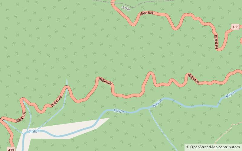
Map
Gallery
Facts and practical information
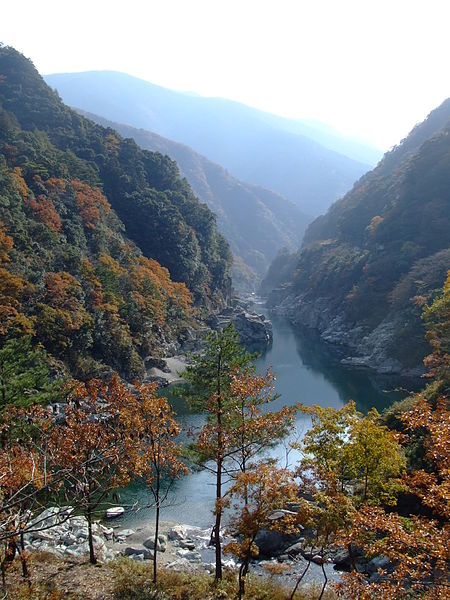
Tsurugisan Quasi-National Park is a Quasi-National Park that spans the borders of Tokushima and Kōchi Prefectures, Japan. It was founded on 3 March 1964 and has an area of 209.6 km2. Within Tokushima Prefecture, the park includes a stretch of the Yoshino River and the Iya Valley. ()
Location
Tokushima
ContactAdd
Social media
Add
Day trips


