Sakamoto Dam
Map

Gallery

Facts and practical information
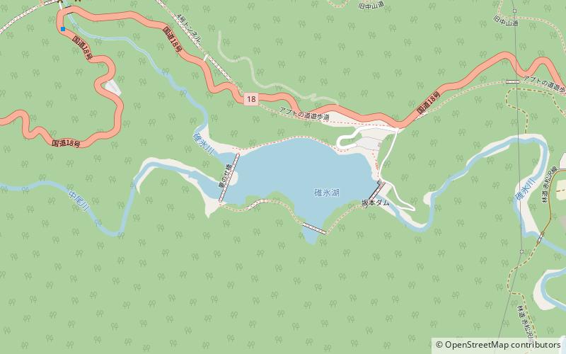
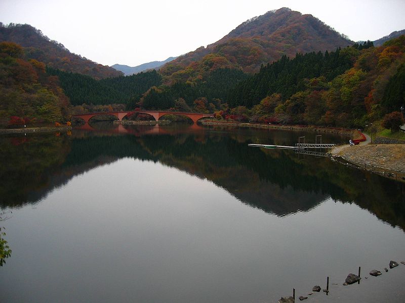
Sakamoto Dam is a dam in the Gunma Prefecture of Japan. It forms Lake Usui. ()
Local name: 碓氷湖 Opened: 1994 (32 years ago)Length: 279 ftHeight: 119 ftReservoir area: 17.3 acres (0.027 mi²)Coordinates: 36°21'13"N, 138°42'18"E
Location
Gunma
ContactAdd
Social media
Add
Day trips
Sakamoto Dam – popular in the area (distance from the attraction)
Nearby attractions include: Usui Pass Railway Heritage Park, Mount Myōgi, Usui Pass, Chachisutorito zhi jing ze.


