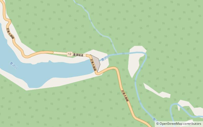
Toyosawa Dam
Map

Map

Facts and practical information
The Toyosawa Dam is a dam on the Toyosawa River, a tributary of the Kitakami River system, located in the southern portion of the city of Hanamaki, Iwate Prefecture in the Tōhoku region of northern Japan. It was completed in 1961. ()
Local name: 豊沢ダム Opened: 1961 (65 years ago)Length: 492 ftHeight: 194 ftReservoir area: 0.53 mi²Coordinates: 39°28'51"N, 140°58'30"E
Location
Iwate
ContactAdd
Social media
Add
Day trips
Toyosawa Dam – popular in the area (distance from the attraction)
Nearby attractions include: Sannōkai Dam, Kuzumaru Dam, Hanamaki Onsenkyō Prefectural Natural Park.


