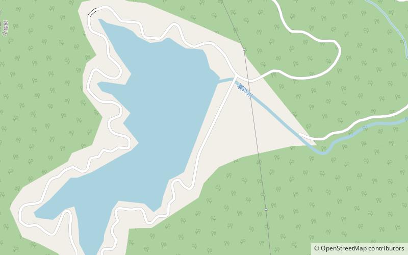
Inamura Dam
Map

Map

Facts and practical information
Inamura Dam is a dam in Tosa, Kōchi Prefecture, Japan, completed in 1982. ()
Alternative names: Opened: 1982 (44 years ago)Length: 1155 ftHeight: 289 ftCoordinates: 33°44'18"N, 133°22'19"E
Location
Kochi
ContactAdd
Social media
Add
Day trips
Inamura Dam – popular in the area (distance from the attraction)
Nearby attractions include: Mount Inamura, Bunsui Dam.


