Urushizawa Dam
Map

Map

Facts and practical information
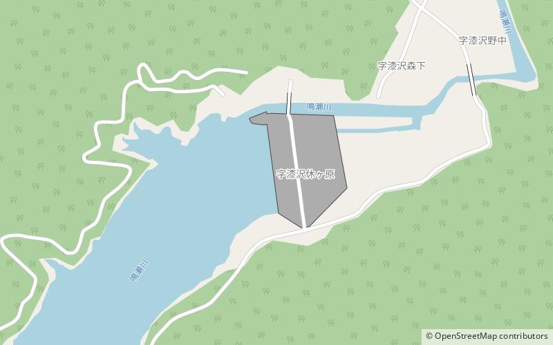
Urushizawa Dam is multi-purpose dam on the Naruse River in the town of Kami, in Miyagi Prefecture, in the Tōhoku region of northern Japan. The dam was completed in 1980. The dam is used for flood control, irrigation, tap water, industrial water, and hydroelectric power generation. ()
Local name: 漆沢ダム Opened: 1981 (45 years ago)Length: 1017 ftHeight: 262 ftReservoir area: 205.1 acres (0.3205 mi²)Coordinates: 38°34'14"N, 140°38'28"E
Location
Miyagi
ContactAdd
Social media
Add
