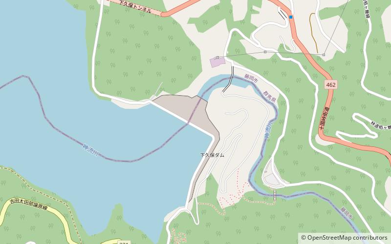
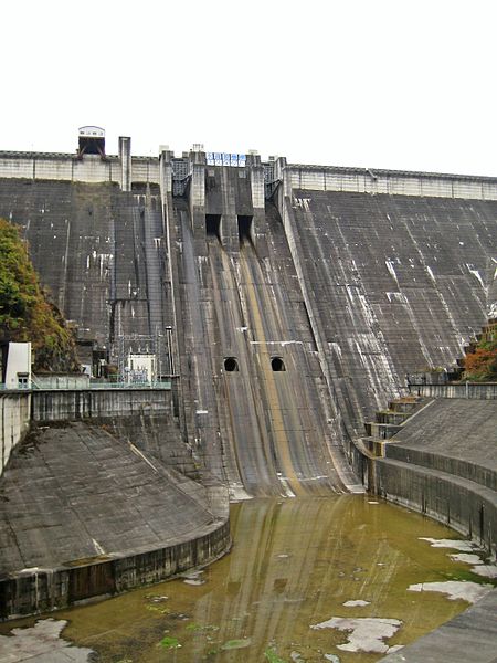
Shimokubo Dam
Map
![Shimokubo Dam location map](https://tzmedia.b-cdn.net/media/images/static-maps/jp/36_1325_139_023.jpg)
Gallery
![Shimokubo Dam](https://tzmedia.b-cdn.net/media/images/jp/place/gallery/medium/cc110b38041629774829f826ab45d8f1.jpg)
Facts and practical information
Shimokubo Dam is a dam in the Gunma Prefecture of Japan, completed in 1968. ()
Local name: 下久保ダム Opened: 1968 (56 years ago)Length: 1985 ftHeight: 423 ftReservoir area: 1.26 mi²Coordinates: 36°7'57"N, 139°1'23"E
Location
Gunma
ContactAdd
Social media
Add
Day trips
Shimokubo Dam – popular in the area (distance from the attraction)
Nearby attractions include: Takayama-sha, Hodosan Ropeway, Shinsui Dam, Minano.