Pirika Dam

Gallery (1)
Map
Map
Facts and practical information
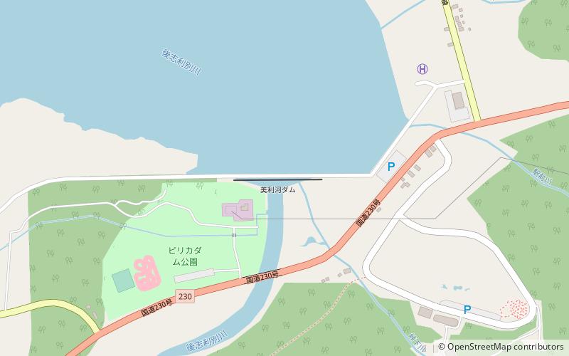
The Pirika Dam is a dam located in Imakane, Setana District, Hiyama, Hokkaidō, Japan. ()
Local name: 美利河ダム Opened: 1991 (35 years ago)Length: 826 ftHeight: 131 ftReservoir area: 0.71 mi²Coordinates: 42°28'17"N, 140°11'49"E
Location
Hokkaido
ContactAdd
Social media
Add
Day trips
Pirika Dam – popular in the area (distance from the attraction)
Nearby attractions include: Imakane.
