Omotesandō, Tokyo
Facts and practical information
Omotesandō: Tokyo's Premier Fashion Boulevard
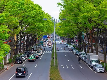
In the bustling metropolis of Tokyo, Japan, Omotesandō stands out as a quintessential shopping district, revered for its sophisticated blend of fashion, culture, and architecture. This iconic avenue, often likened to Paris's Champs-Élysées, is a magnet for both locals and tourists seeking a luxurious shopping experience amidst the city's dynamic energy.
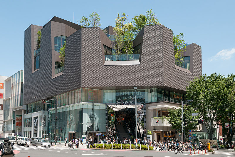
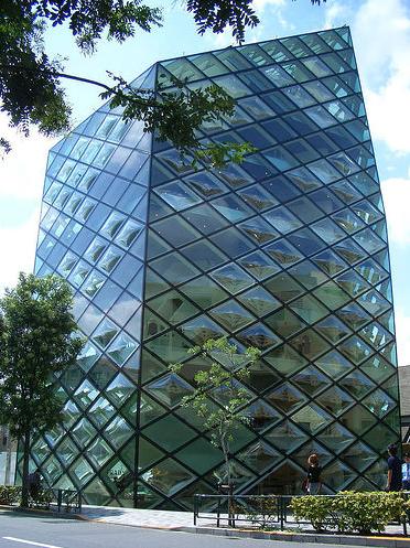
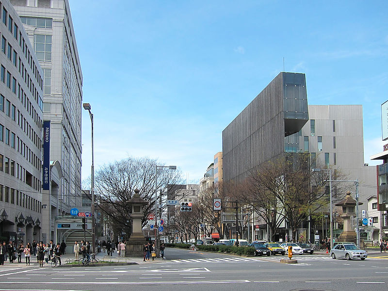
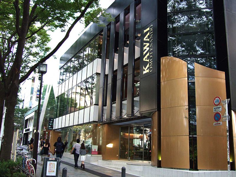
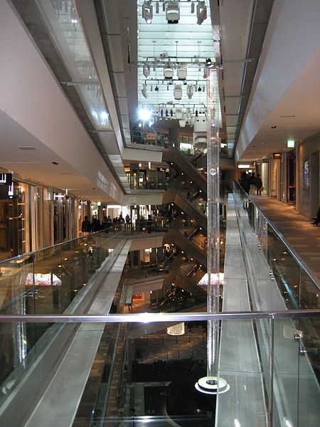
Stretching from the famous Meiji Shrine to Aoyama-dori, Omotesandō is lined with an array of flagship stores, chic boutiques, and world-renowned brand outlets. The district is a fashionista's paradise, showcasing the latest trends from both high-end international designers and avant-garde Japanese labels. The shopping experience is further enhanced by the area's stunningly designed buildings, which are architectural marvels in their own right, reflecting the stylish essence of the district.
Beyond retail therapy, Omotesandō also offers a plethora of dining options, ranging from casual cafés to gourmet restaurants, where visitors can indulge in a diverse array of culinary delights. The tree-lined avenue, which changes its foliage with the seasons, adds a natural charm to the otherwise urban setting, making it a picturesque destination year-round.
The cultural aspect of Omotesandō is not to be overlooked. Art galleries and museums are sprinkled throughout the district, inviting those with an appreciation for the arts to explore contemporary exhibits and installations.
Accessibility is a breeze, with Omotesandō Station serving as a primary gateway to this shopping haven. The district is well-equipped to welcome a steady stream of visitors daily, offering an upscale shopping and cultural experience that is distinctly Tokyo.
港区 (青山)Tokyo
Omotesandō – popular in the area (distance from the attraction)
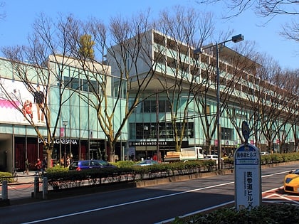
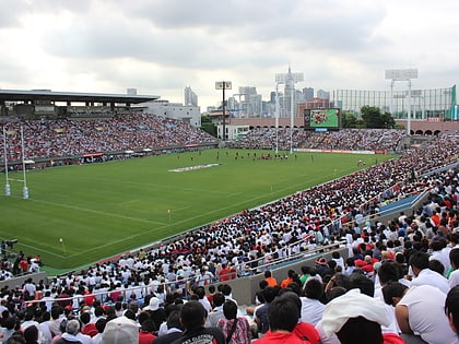
Nearby attractions include: The National Art Center, Blue Note Tokyo, Omotesando Hills, Meiji Jingu Stadium.
Frequently Asked Questions (FAQ)
Which popular attractions are close to Omotesandō?
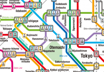
How to get to Omotesandō by public transport?
Metro
- Omote-sando • Lines: C, Dt;Z, Dt;Z;Ts;Tn, G, Z (2 min walk)
- Gaiemmae • Lines: G (13 min walk)
Bus
- Omotesando Station • Lines: 神宮の杜ルート, 青山ルート (2 min walk)
- 南青山五丁目 • Lines: 渋88 (5 min walk)
Train
- Harajuku (18 min walk)
- Shibuya (22 min walk)



 Metro
Metro
