Iwaya Dam

Gallery (1)
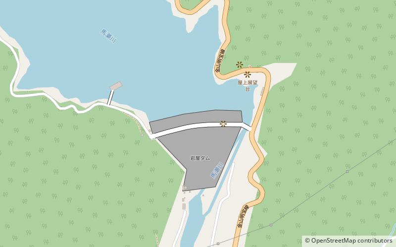
Map
Map
Facts and practical information
The Iwaya Dam is a dam in the city of Gero, Gifu Prefecture, Japan on the Maze River, part of the Kiso River system. The dam is a rockfill dam with a height of 127 meters and was constructed as a multipurpose dam for flood control, supply of municipal and industrial water, irrigation water and hydroelectric power generation. The reservoir created by the dam supplies the Chubu Electric Power Company's Mazegawa No.1 Power plant with a capacity of 288 MW hydroelectric power station. ()
Local name: 岩屋ダム Opened: 1976 (50 years ago)Length: 1201 ftHeight: 418 ftReservoir area: 1.64 mi²Coordinates: 35°45'40"N, 137°9'25"E
Location
Gifu
ContactAdd
Social media
Add
Day trips


