Chagama Falls
Map

Map

Facts and practical information
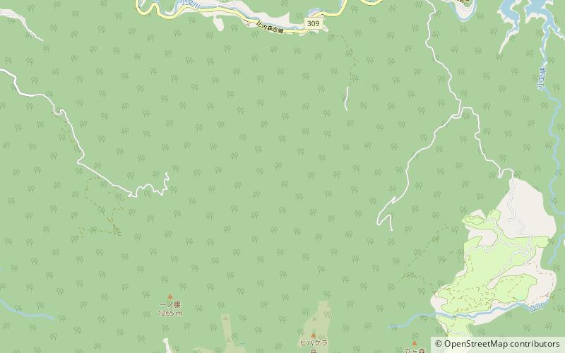
Chagama Falls is a waterfall in the Hachimantai district of Kazuno, Akita Prefecture, Japan, on the Yoakeshima branch of the Yoneshiro River. It is one of "Japan’s Top 100 Waterfalls", in a listing published by the Japanese Ministry of the Environment in 1990. The falls have a height of 100 meters, making it one of the tallest on the list of 100 Waterfalls. The falls are also one of the most remotely located on the listing, requiring a hike of 5.5 kilometers across very rough terrain to reach. ()
Location
Akita
ContactAdd
Social media
Add
Day trips
Chagama Falls – popular in the area (distance from the attraction)
Nearby attractions include: Yasu Falls.

