Nakuidake Prefectural Natural Park

Map
Facts and practical information
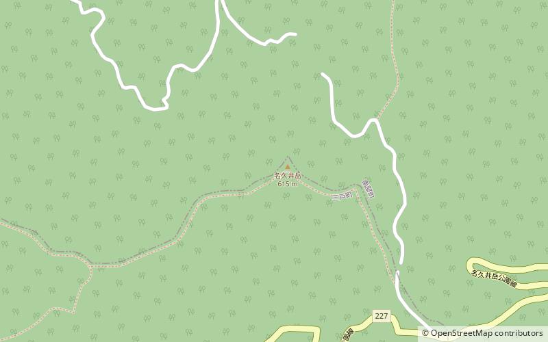
Nakuidake Prefectural Natural Park is a Prefectural Natural Park in southeast Aomori Prefecture, Japan. Established in 1956, the park spans 10.76 square kilometres on the borders of the municipalities of Sannohe and Nanbu, and encompasses the 615.4 metres Mount Nakuidake. ()
Established: 25 October 1956 (69 years ago)Elevation: 1900 ft a.s.l.Coordinates: 40°23'16"N, 141°18'29"E
Location
Aomori
ContactAdd
Social media
Add
Day trips
Nakuidake Prefectural Natural Park – popular in the area (distance from the attraction)
Nearby attractions include: Sannohe Castle, Shōjujidate Castle, Kindaichi Onsen, Sannohe.


