Gōkei area, Soja
Map

Map

Facts and practical information
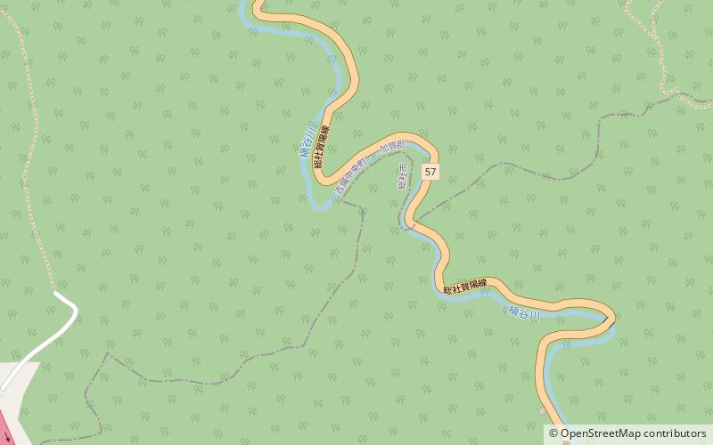
The Gōkei area is a river valley formed by the Makidani River which stretched from the extreme northern part of Sōja to Kibichūō in Okayama Prefecture, Japan. The area is only about 600m long, but the area is filled with strange granite rock formations resulting from wind and rain erosion. The area has become a local attraction for those wanting to view the scenic beauty and the strange formations, leading to its listing in 1923 as a national scenic spot in Japan. ()
Address
Soja
ContactAdd
Social media
Add
Day trips
Gōkei area – popular in the area (distance from the attraction)
Nearby attractions include: Bitchū Matsuyama Castle, Raikyū-ji, Ki castle, Takahashi Church.


