Hiju Dam

Gallery (1)
Map
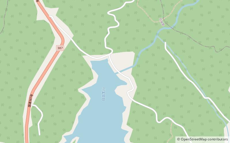
Map
Facts and practical information
Hiju Dam is a dam in Kusu, Ōita Prefecture, Japan, and it was completed in 1969. The rock-fill dam is characterized by radial gates of the gate 3, which supplies water for agriculture and farmland. ()
Local name: 日出生ダム Opened: 1969 (57 years ago)Length: 644 ftHeight: 157 ftCoordinates: 33°21'17"N, 131°14'56"E
Location
Oita
ContactAdd
Social media
Add
Day trips
Hiju Dam – popular in the area (distance from the attraction)
Nearby attractions include: Kusu District.