Shiga Highlands, Joshin'etsukogen National Park

Gallery (18)
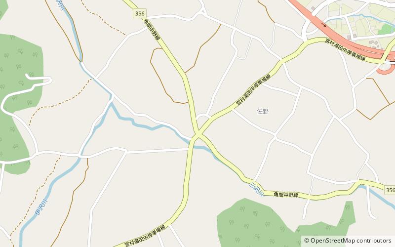
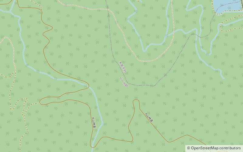
Map

Map

Gallery
Facts and practical information
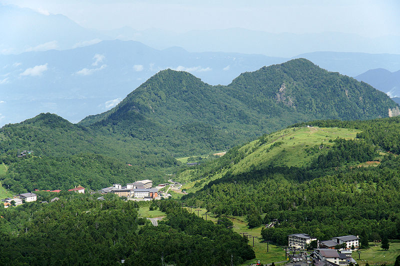
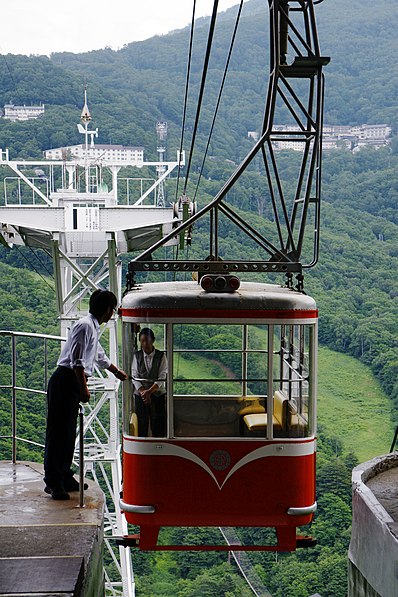
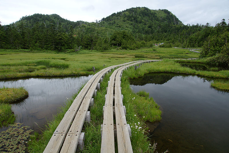
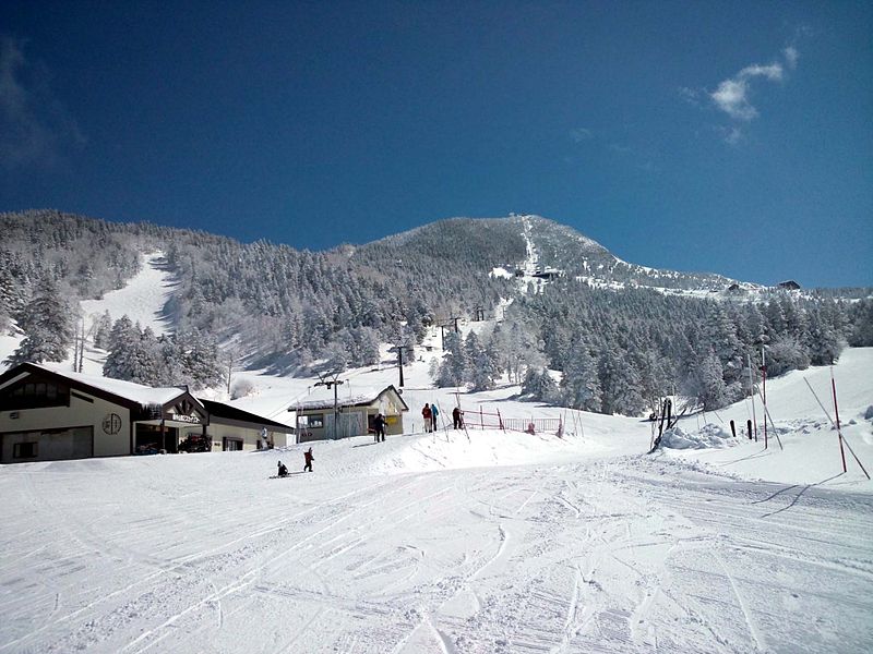
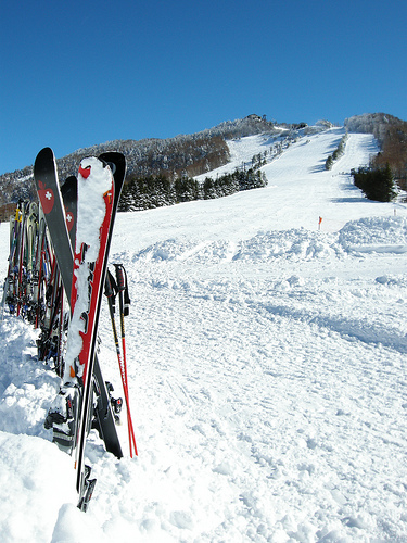
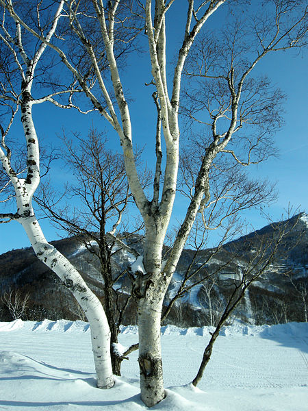
Shiga Kogen is a ski resort and hiking spot, located in the Jōshin'etsu-kōgen National Park in the highlands of Yamanouchi, Nagano, Japan. In 1980, an area of 13,000 hectares was designated a UNESCO Man and the Biosphere Reserve. ()
Address
Joshin'etsukogen National Park
ContactAdd
Social media
Add
Getting there by public transportation
Public transportation stops near this location
- Bus
 Bus
Bus
- Calculate routehasuike 12 min walk
Day trips


Frequently Asked Questions (FAQ)
How to get to Shiga Highlands by public transport?
The nearest stations to Shiga Highlands:
Bus
Bus
- hasuike (12 min walk)