Mount Saga

Gallery (1)
Map
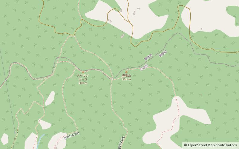
Map
Facts and practical information
Mount Saga is a mountain located on the border of Futtsu and Kyonan, Chiba Prefecture. Mount Saga has an elevation of 315.5 m and is one of the peaks of the Mineoka Mountain District of the Bōsō Hill Range. ()
Location
Chiba
ContactAdd
Social media
Add
Day trips