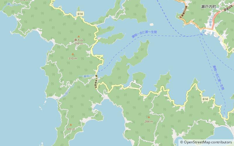
Kakeromajima
Map

Map

Facts and practical information
Kakeromajima or Kakeroma-tō is one of the Satsunan Islands, classed with the Amami archipelago between Kyūshū and Okinawa. ()
Local name: 加計呂麻島 Area: 29.88 mi²Maximum elevation: 1070 ftArchipelago: Amami IslandsCoordinates: 28°7'29"N, 129°15'25"E
Location
Kagoshima
ContactAdd
Social media
Add
Day trips
Kakeromajima – popular in the area (distance from the attraction)
Nearby attractions include: Yan mei zhan shi mo xing zi liao guan, Setouchi.


