Aimata Dam, Minakami
Map

Map

Facts and practical information
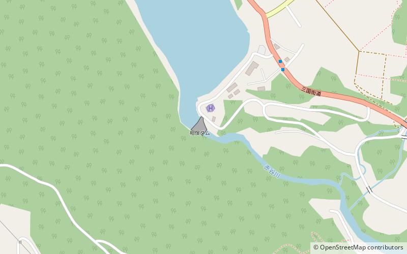
Aimata Dam is a dam built on the Akaya River, part of the class-A Tonegawa River system at Aimata in the city of Minami, in the Tone District of Gunma Prefecture, Japan. ()
Local name: 相俣ダム Opened: 1959 (67 years ago)Length: 262 ftHeight: 220 ftCoordinates: 36°42'45"N, 138°53'35"E
Address
Minakami
ContactAdd
Social media
Add
Day trips
Aimata Dam – popular in the area (distance from the attraction)
Nearby attractions include: Nagurumi Castle, Yaze Site, Minakami Stone Age Residence Site.


