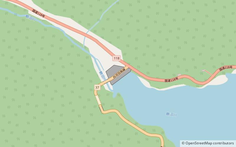
Hatori Dam
Map

Map

Facts and practical information
Hatori Dam is a dam in Ten'ei, Fukushima Prefecture, Japan. Hatori Dam is managed directly by the Ministry of Agriculture, Forestry and Fisheries, and is intended to provide irrigation for the Shirakawa area of the Abukuma River Basin. The dam is an earth dam with a height of 37.1 meters. The reservoir created by the dam is called Lake Hatori, and has been developed as a resort area. ()
Local name: 羽鳥ダム Opened: 1956 (70 years ago)Length: 556 ftHeight: 122 ftReservoir area: 0.78 mi²Coordinates: 37°16'18"N, 140°4'34"E
Location
Fukushima
ContactAdd
Social media
Add
