Hokubō Dam
Map

Map

Facts and practical information
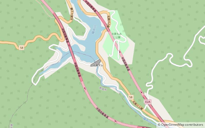
Hokubō Dam is a dam in Okayama Prefecture, Japan. It is located on the border between the cities of Maniwa and Niimi, and it is actually situated between the eastbound and westbound lanes of the Chūgoku Expressway. The dam was completed in 1980. ()
Opened: 1980 (46 years ago)Length: 308 ftHeight: 116 ftCoordinates: 35°0'2"N, 133°36'0"E
Location
Okayama
ContactAdd
Social media
Add
Day trips
Hokubō Dam – popular in the area (distance from the attraction)
Nearby attractions include: Maki-do Cave, Osakabegawa Dam.


