Minato Bridge, Osaka
Map
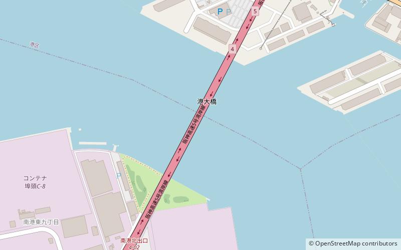
Map

Facts and practical information
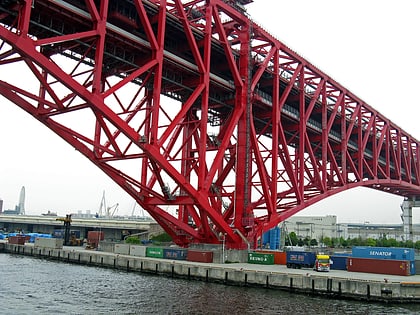
The Minato Bridge is a double-deck cantilever truss bridge in Osaka, Japan; upper deck is for Hanshin Expressway Route 16 Osakako Line, and lower deck is Route 5 Bayshore Line. It opened in 1974. It is the third-longest cantilever truss span in the world, behind the Quebec Bridge and the Forth Bridge. ()
Local name: 港大橋 Opened: 1974 (52 years ago)Length: 3225 ftWidth: 74 ftCoordinates: 34°38'39"N, 135°26'17"E
Address
Osaka
ContactAdd
Social media
Add
Day trips
Minato Bridge – popular in the area (distance from the attraction)
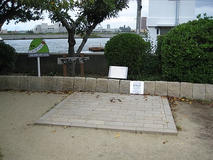
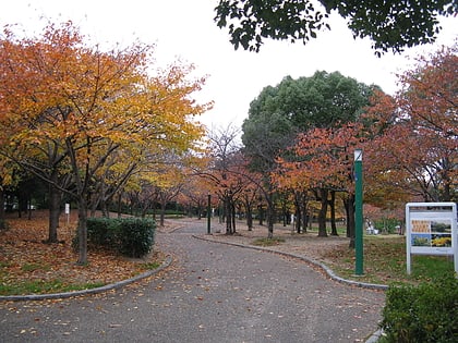
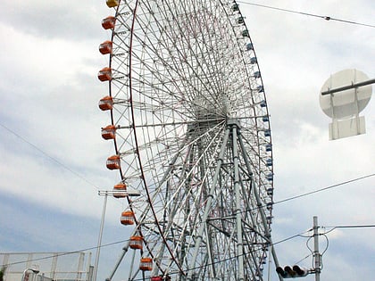
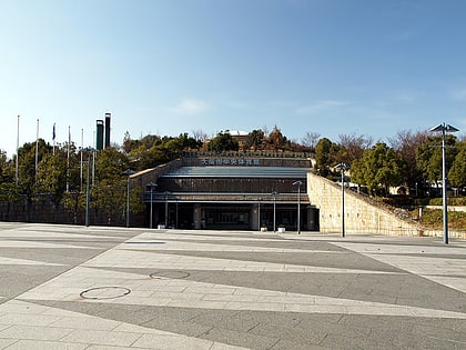
Nearby attractions include: Osaka Aquarium Kaiyukan, Mount Tenpō, Yahataya Park, Tempozan Ferris Wheel.
Frequently Asked Questions (FAQ)
Which popular attractions are close to Minato Bridge?
Nearby attractions include Port of Osaka, Osaka (23 min walk), Osaka Aquarium Kaiyukan, Osaka (23 min walk), Tempozan Ferris Wheel, Osaka (24 min walk).
How to get to Minato Bridge by public transport?
The nearest stations to Minato Bridge:
Metro
Light rail
Metro
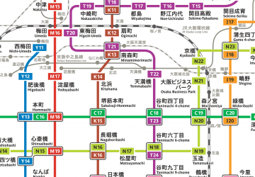
- Ōsakakō • Lines: C (19 min walk)
- Asashiobashi • Lines: C (34 min walk)
Light rail
- Port Town-higashi • Lines: P (27 min walk)
- Nakafuto • Lines: P (35 min walk)
 Metro
Metro
