Kuriyama Dam

Gallery (1)
Map
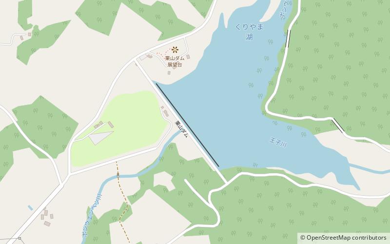
Map
Facts and practical information
Kuriyama Dam is a concrete gravity dam in Hokkaido, Japan. The dam lies on the Ponuenbetsu River and forms Lake Kuriyama. The Ponuenbetsu River is a major tributary of the Ishikari River. ()
Local name: 栗山ダム Length: 1772 ftHeight: 105 ftReservoir area: 5.87 mi²Coordinates: 43°4'31"N, 141°51'22"E
Location
Hokkaido
ContactAdd
Social media
Add
Day trips

