Goyōzan Prefectural Natural Park

Gallery (1)
Map
Map
Facts and practical information
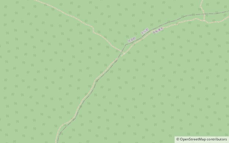
Goyōzan Prefectural Natural Park is a Prefectural Natural Park in Iwate Prefecture, Japan. Established in 1966, the park spans the municipalities of Ōfunato, Kamaishi and Sumita. The central feature of the park is Mount Goyō. ()
Established: 1 June 1966 (59 years ago)Elevation: 4249 ft a.s.l.Coordinates: 39°11'54"N, 141°43'1"E
Location
Iwate
ContactAdd
Social media
Add