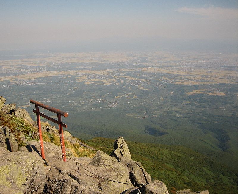
Mount Iwaki, Tsugaru Quasi-National Park

Gallery (2)
Map
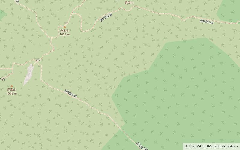
Map
Gallery
Facts and practical information
Mount Iwaki is a stratovolcano located in western Aomori Prefecture, Tohoku, Japan. It is also referred to as Tsugaru Fuji and less frequently, Okufuji due to its similar shape to Mount Fuji. With a summit elevation of 1,625 meters and a prominence of 1,322 meters it is the highest mountain in Aomori Prefecture. ()
Address
Tsugaru Quasi-National Park
ContactAdd
Social media
Add
Day trips


