Shimagawa Dam

Gallery (1)
Map
Map
Facts and practical information
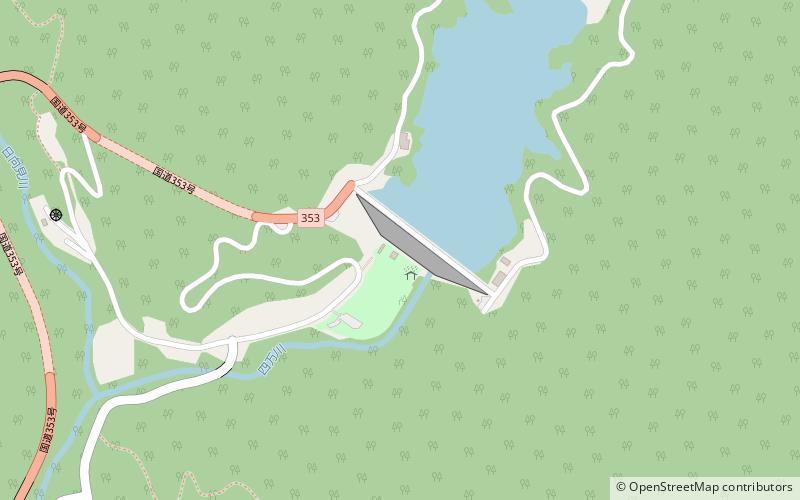
Shimagawa Dam is a dam in the Gunma Prefecture of Japan. ()
Local name: 四万川ダム Opened: 1999 (27 years ago)Length: 1083 ftHeight: 294 ftCoordinates: 36°41'47"N, 138°46'52"E
Location
Gunma
ContactAdd
Social media
Add
Day trips
Shimagawa Dam – popular in the area (distance from the attraction)
Nearby attractions include: Nakanojō.
