Sagamihara City, Sagamihara

Gallery (2)
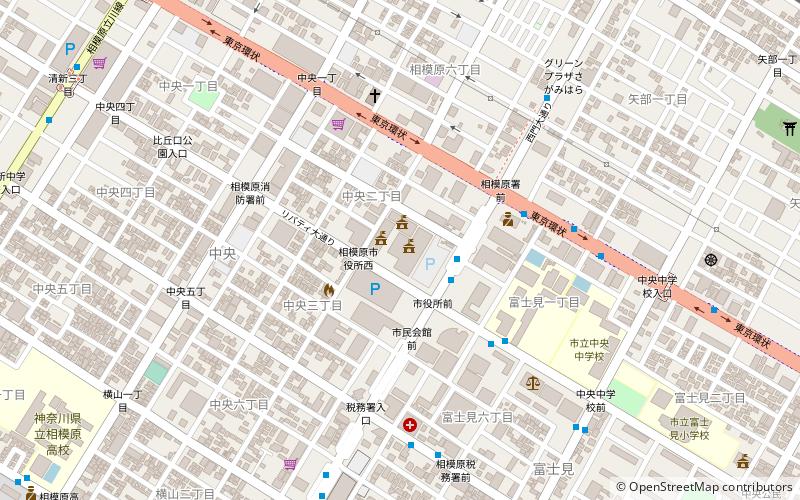
Map
Map
Gallery
Facts and practical information
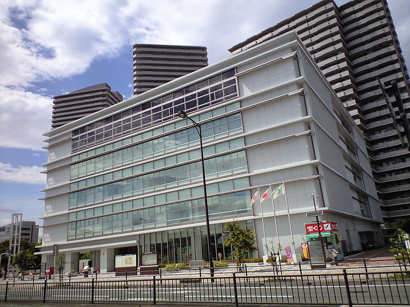
Sagamihara City Hall is a facility that performs administrative duties as the executive body of Sagamihara City, a local public entity.
With the transition to an ordinance-designated city on April 1, 2010, the Chuo Ward Office was established as part of City Hall.
Coordinates: 35°34'17"N, 139°22'23"E
Getting there by public transportation
Public transportation stops near this location
- Bus
- Train
 Bus
Bus
- Calculate route相模原警察署前 5 min walk
- Calculate route中央小学校北 8 min walk
- Calculate routeグッディプレイス前 12 min walk
- Calculate routeさがみ夢大通り 13 min walk
- Calculate routeSagamihara 18 min walk
- Calculate routeYabe 20 min walk
- Calculate routeKamimizo 28 min walk
- Calculate routeMinami-Hashimoto 34 min walk
Day trips


Frequently Asked Questions (FAQ)
How to get to Sagamihara City by public transport?
The nearest stations to Sagamihara City:
Bus
Train
Bus
- 相模原警察署前 • Lines: 相02 (5 min walk)
- 中央小学校北 • Lines: 相02 (8 min walk)
Train
- Sagamihara (18 min walk)
- Yabe (20 min walk)