Miyatoko Dam

Gallery (1)
Map
Map
Facts and practical information
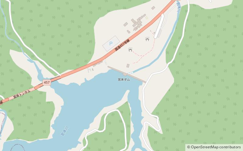
Miyatoko Dam' is a multi-purpose dam on the Miyatoko River, a branch of the Naruse River in the town of Taiwa, Kurokawa District Miyagi Prefecture, Japan. The dam was completed in 1998. ()
Local name: 宮床ダム Opened: 1998 (28 years ago)Length: 840 ftHeight: 157 ftReservoir area: 106.26 acres (0.166 mi²)Coordinates: 38°23'13"N, 140°49'19"E
Location
Miyagi
ContactAdd
Social media
Add
Day trips