Miyako Bay, Sanriku Fukkō National Park
Map

Gallery

Facts and practical information
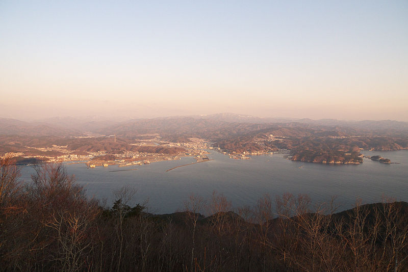
Miyako Bay is a bay in Iwate Prefecture, in the northern Tōhoku region of northern Japan. It is a long and narrow, roughly triangular body of water extending southwest to northeast where it opens to the Pacific Ocean. The Omoe Peninsula forms its southern border and Cape Anegasaki forms its southern border. This gives it an area of approximately 24 km2. ()
Local name: 宮古湾 Length: 6.21 miWidth: 2.98 miAverage depth: 249 ftCoordinates: 39°36'12"N, 141°57'47"E
Address
Sanriku Fukkō National Park
ContactAdd
Social media
Add
Day trips
Miyako Bay – popular in the area (distance from the attraction)
Nearby attractions include: Sakiyama Shell Mound.

