Aburagi Dam
Map

Map

Facts and practical information
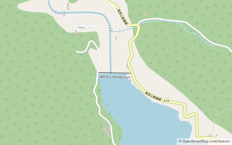
Aburagi Dam is a dam built upstream on the class-B Imagawa River, located in the town of Soeda, in the Tagawa District of Fukuoka Prefecture, Japan. ()
Local name: 油木ダム Opened: 1971 (55 years ago)Length: 715 ftHeight: 179 ftCoordinates: 33°33'21"N, 130°53'38"E
Location
Fukuoka
ContactAdd
Social media
Add
Day trips
Aburagi Dam – popular in the area (distance from the attraction)
Nearby attractions include: Mount Hiko, Jinya Dam, Miyako, Soeda.


