Shintoyone Dam

Gallery (1)
Map
Map
Facts and practical information
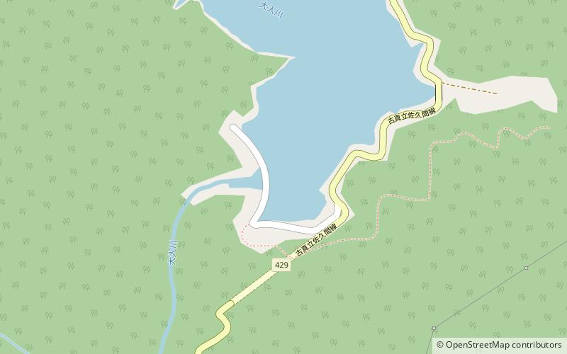
The Shintoyone Dam is a multipurpose dam in the village of Toyone in the Aichi Prefecture of Japan. ()
Local name: 新豊根ダム Opened: 1972 (54 years ago)Length: 1020 ftHeight: 382 ftReservoir area: 0.6 mi²Coordinates: 35°7'33"N, 137°45'40"E
Location
Aichi
ContactAdd
Social media
Add