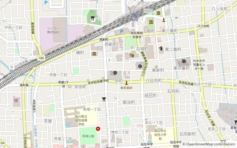
Sheng xing si, Hakusan
Map

Map

Facts and practical information
Sheng xing si is a place located in Hakusan (Ishikawa prefecture) and belongs to the category of temple.
It is situated at an altitude of 79 feet, and its geographical coordinates are 36°31'24"N latitude and 136°33'54"E longitude.
Among other places and attractions worth visiting in the area are: Mattō (city, 10 min walk), Suematsu temple ruins (archaeological site, 44 min walk), Tōdai-ji Yokoe Shōen (archaeological site, 52 min walk).
Coordinates: 36°31'24"N, 136°33'54"E
Address
Hakusan
ContactAdd
Social media
Add
Day trips
Sheng xing si – popular in the area (distance from the attraction)
Nearby attractions include: Okyōzuka Site, Chikamori Site, Myōryū-ji, Muro Saisei Kinenkan Museum.


