Atago Yama
Map

Map

Facts and practical information
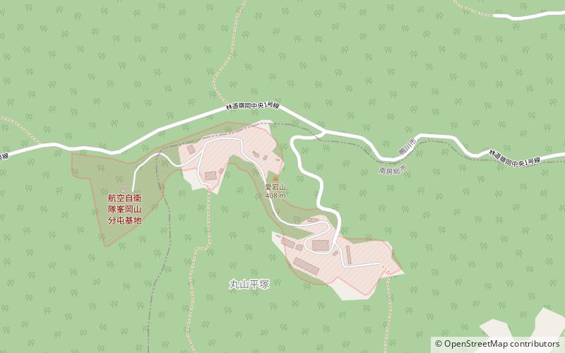
Mount Atago is a mountain on the border of the cities of Minamibōsō and Kamogawa in Chiba Prefecture, Japan with an altitude of 408.2 m. It is the highest point in Chiba Prefecture. Mount Atago is at the west of the Mineoka Mountain District of the Bōsō Hill Range. The kanji for Mount Atago, 愛 and 宕, mean 'love' and 'cave' respectively. The mountain is also known as Mineoka Atago-yama as several other hills and mountains share the same name in Japan, most notably Mount Atago in the Tamba Mountains to the northwest of Kyōto. ()
Location
Chiba
ContactAdd
Social media
Add
Day trips
Atago Yama – popular in the area (distance from the attraction)
Nearby attractions include: Mount Iyogatake, Mount Karasuba, Bōsō Hill Range, Mineokasankei Prefectural Natural Park.


